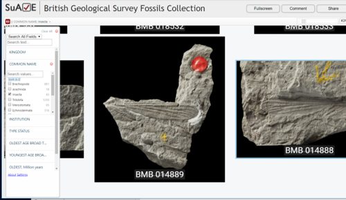
BGS Macrofossils
Fossil specimens from the award-winning British Geological Survey Macrofossils collection — browse as a zoomable image grid, filter by taxonomy and geological period, or switch to the map view to explore collection sites geographically.
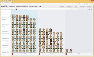
American National Election Survey Pilot 2016
This January 2016 survey, conducted ten months before the election, already contained early signals of what November would confirm — voter preferences that later emerged in the results were visible in the data when filtering by party and comparing stated issue priorities.
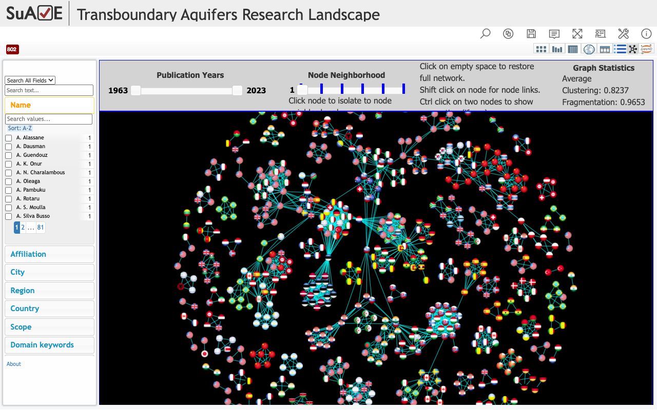
Global Groundwater Research Network
Network analysis of the transboundary groundwater research community, built on OpenAlex bibliographic data, identified key clusters and cross-border collaboration trends — contributing to an NSF-funded partnership spanning six countries and later adopted by other NSF AccelNet grantees.
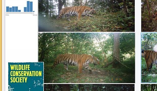
Camera Trap Wildlife — Tiger Habitats
Motion-triggered camera trap images of wildlife from tiger habitats in Thailand, collected by the Department of National Parks — browse by species, habitat, or capture time, or map sighting locations.
SDG Indicators — Global Map
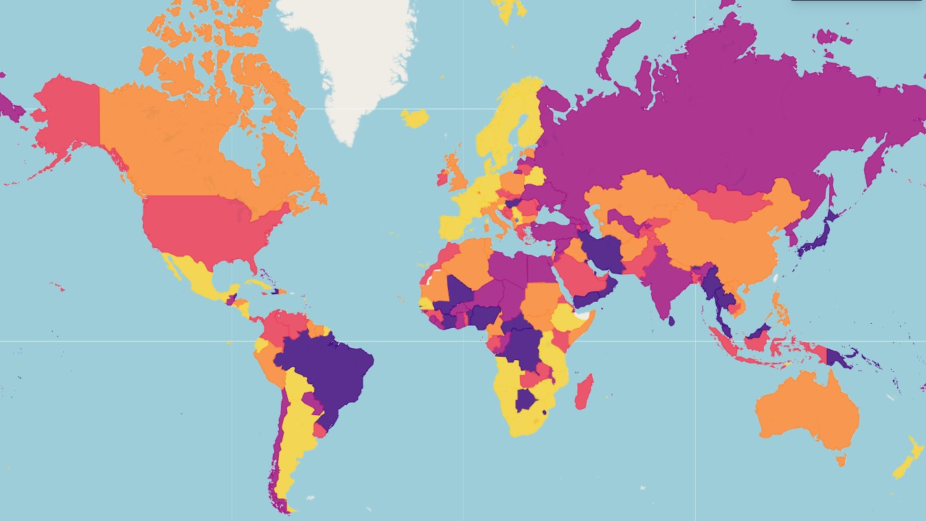
UN Sustainable Development Goal indicators for 193 member states, displayed on an interactive map and filterable by goal, regional bloc, performance tier, and over 200 variables.
Salvador Dali: 1,100+ Paintings
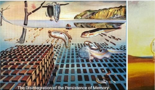
Dali's paintings and prints arranged by period, medium, and symbolic motif. Filter to trace his shift from Cubism through Surrealism to Nuclear Mysticism.
General Social Survey 2010
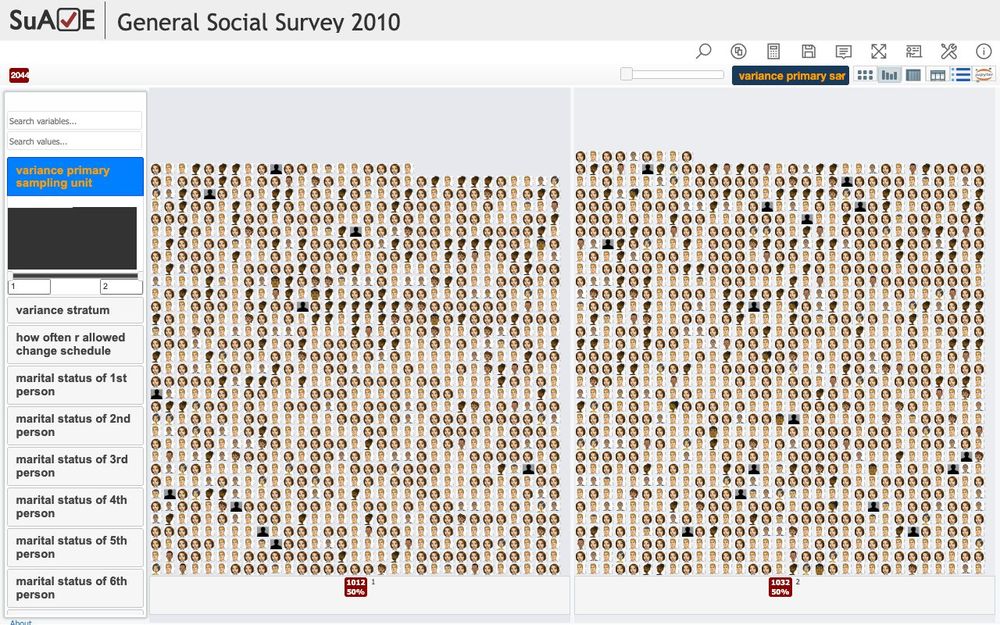
America's longest-running social survey, visualized across all major variables — political affiliation, religious attendance, economic attitudes, and demographics — and used in UCSD research methods courses.
Shiqmim Archaeological Site
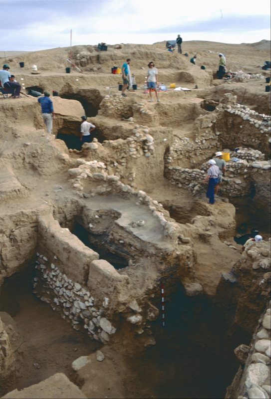
Copper Age artifacts and field photographs from Thomas E. Levy's (UCSD) excavations at Shiqmim, Israel (1982–1993). Each object is tagged by locus, stratum, material type, and preservation state, with spatial coordinates on a site map.
Global Forest Link
Forest biodiversity data and photos collected by students worldwide, linked to Global Forest Watch monitoring data. Learn more at globalforestlink.com.
Wetlands of the Lower Mekong
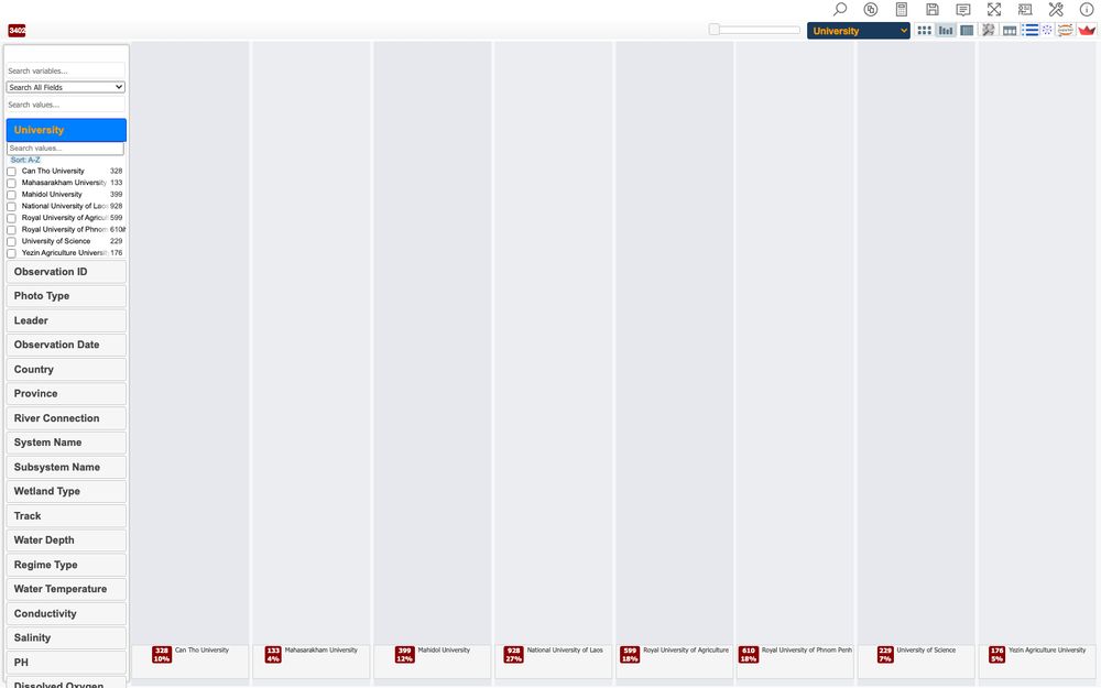
Soil sample data and field photographs from universities in Cambodia, Laos, Myanmar, Thailand, and Vietnam, collected through the Lower Mekong Initiative. Visualize soil profiles, map each sample's GPS coordinates, and filter by depth, organic content, or land-use category.
Van Gogh: Style Spaces
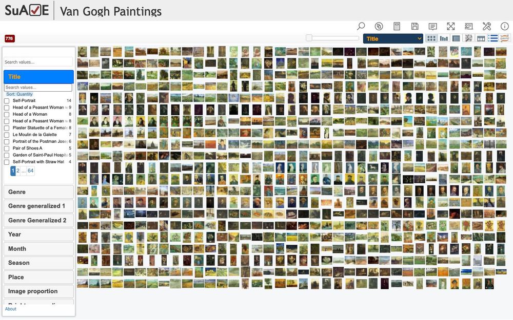
Van Gogh's paintings across six periods, broken down by color channel and composition. In the spirit of Lev Manovich's cultural analytics research, filtering to the Arles period reveals a measurable — not merely impressionistic — shift in his color palette just before his hospitalization.
Russian IRA Facebook Ads
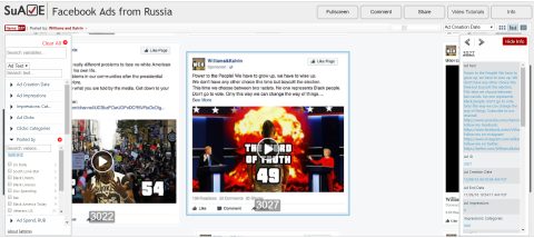
These 3,517 ads, purchased by Russia's Internet Research Agency before and after the 2016 presidential election, were released by the U.S. House of Representatives' Intelligence Committee in 2017. SuAVE's bars and bucket views reveal phase-by-phase targeting strategy, spending distribution, and the post-election shift to Hispanic outreach.