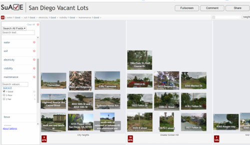
Vacant lots in San Diego. This collection of photos and vacant lot characteristics was assembled by students in the UCSD USP "Senior Sequence" class to evaluate vacant lot suitability for different types of development. The associated map in SuAVE shows polygon outlines of the lots.
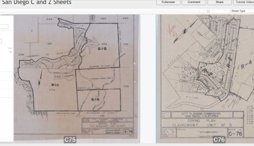
San Diego C and Z sheets, a collection of zoning blueprints used by San Diego City Council to establish zoning ordinances, during 1930-40s (Z-sheets) and 1940-60s (C-sheets).
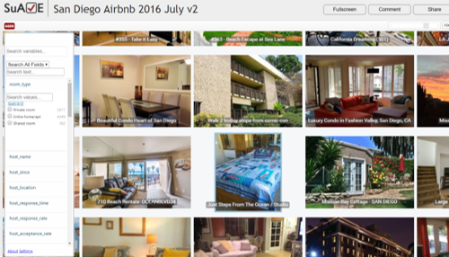
San Diego AirBNB listings in July 2016. This dataset contributed to the discussion of affordable housing and short-term rental regulations in San Diego.
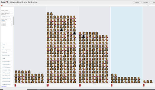
The Household Survey of Health, Healthcare, Hygiene, and Social Conditions in 4 Colonias in Mexico was conducted in 2013-2014 as part of UCSD SRP project.
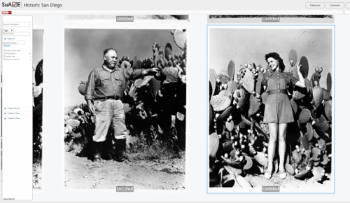
Historic San Diego. The Historic San Diego collection of photographs managed by the Museum of Man in Balboa Park.
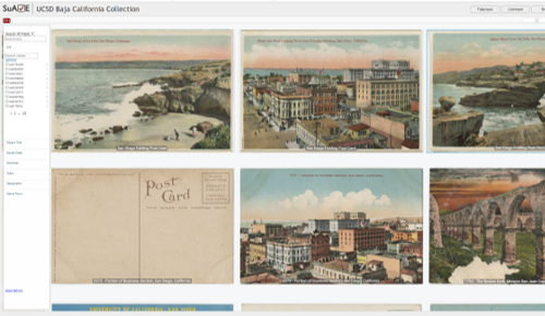
Histroric Baja, California. These images of Baja California have been digitized from original photographs, postcards, prints, journals, and other materials held by UC San Diego Library.
Additional urban applications:
- Charging behavior of electric vehicle drivers on UCSD campus
- Foodscapes survey, with data contributed by UCSD USP students via Limesurvey-Suave integration
- Green Infrastructure, health indicators, and other parameters by census tracts, for San Diego, Rhode Island, and Harris County, TX (Houston), created as part of SRC EUC-17 work
- A collection of SuAVE apps showing vulnerable population for COVID-19 (mostly from May 2020), with data from ACS and from SD County HHSA
- 1926 San Diego Directory (scanned pages, with initial OCR)

